Infrakit Office

Cloud-based collaboration and storage for all project data

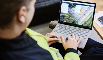
Model-based insights for precise project execution

Real-time updates for actionable decisions

Scalable construction data solutions for projects of all sizes
Scalable solutions for every role, every need
Essentials
Owners, contractors, consultants, and designers starting with construction tech
Infrakit Office
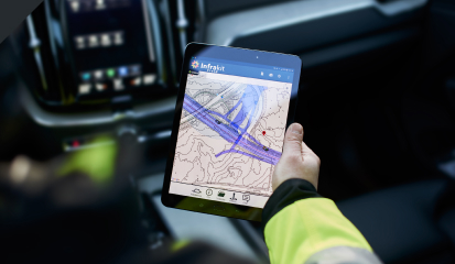
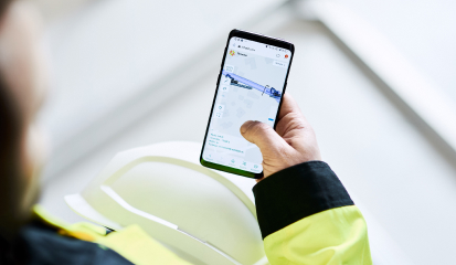
Infrakit Field
Infrakit Survey
Infrakit Truck
Standard product support
Basic remote training
Pro
Model-based managers: contractors and owners managing model-based construction projects
Essentials
Infrakit Link (Integrations, Equipment, As-Built Management)
SSO (Enhanced Security & User Management)
Standard product support
Tailored training
Dedicated solution specialist
Enterprise
Large enterprises managing complex projects
Pro
Enterprise API (Cloud to Cloud Progress Monitoring)
Enhanced product support
Tailored training
Dedicated solution specialist
Need a little more help?
Getting started is easy — just book a demo to see Infrakit in action or contact our sales team to discuss your project needs. We’ll guide you through every step.
Implementation can happen faster than you think! Infrakit can be up and running within a few hours. Our team ensures a smooth onboarding process tailored to your requirements.
Absolutely. Infrakit complies with ISO 27001 standards for information security, so your data is protected with world-class safeguards. Learn more about our compliance practices here.
Yes! As an independent cloud platform, Infrakit integrates with a wide range of tools and systems. Explore our extensive list of integrations here.
We’ve got you covered with multiple support options, including our comprehensive Knowledge Base. Plus, our dedicated customer support team is always ready to help.